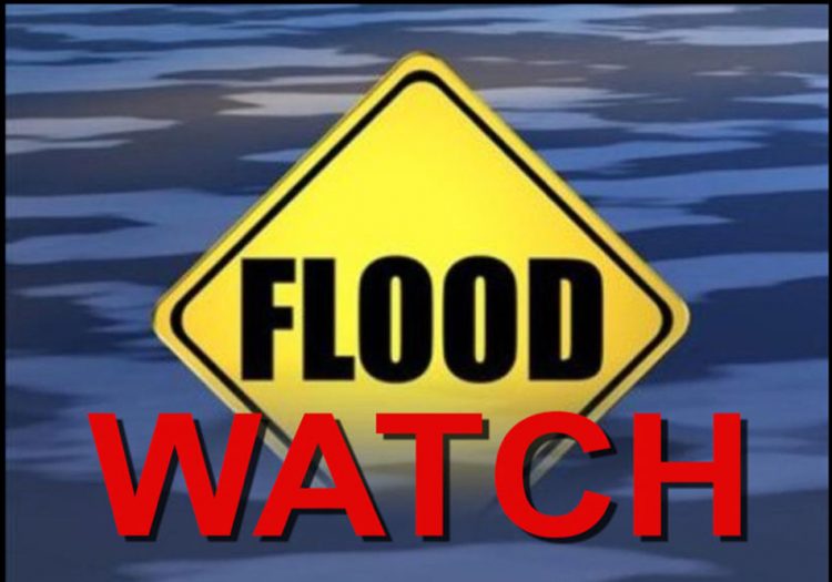
Flash Flood Watch in effect for St Vincent and the Grenadines

The National Emergency Management Organisation (NEMO) is urging residents and motorists in low lying areas, areas prone to flooding, lahars or mudflows and landslides to be vigilant and exercise caution.
A Flash Flood Watch is in effect for St. Vincent and the Grenadines until further notice. According to St. Vincent and the Grenadines Meteorological Services, a low-level trough is encroaching on our islands, the upper-level environment is expected to become supportive. Consequently, cloudy to overcast skies, pockets of light to heavy showers, periods of light rain and isolated thunderstorms are anticipated across St. Vincent and the Grenadines (SVG) during the next few days. This activity could peak by midweek across the Southern Windward Islands including SVG. The latest forecast model guidance suggests rainfall accumulations of 75 – 125 millimeters (approximately 3-5 inches) with isolated higher amounts in mountainous areas during the next 24-72 hours.
A Flood-Watch is issued when conditions are favourable and there exists the possibility of flooding during the watch period. This Flash-Flood Watch may be upgraded to a warning if conditions warrant.
The National Emergency Management Organisation (NEMO) urges all residents especially persons living near rivers and streams in areas such as Fitz-Hughes, Chateaubelair, Spring Village, Vermont, Buccament, Rose Place, Calliaqua, Belair, Dauphine, Arnos Vale, Marriaqua, Lowmans, Greggs, South Rivers, Dickson and Langley Park to be vigilant.
Residents in the red and orange volcano hazard zones are also reminded that lahar flows within the river system are also possible. Lahars are a dense mixture of ash and water which usually occurs during heavy rain and creates dangerous mudflows that can destroy everything in their path as they rush down the volcano’s slopes and rivers.
Residents and motorists are asked to continue to monitor and listen to updates from the SVG Met Services and to exercise extreme caution when traversing areas that are prone to flooding.
[[UPDATED at 7:40 pm on Monday, April 25, 2022 to include information from the National Emergency Management Organization (NEMO)]]


