Adverse weather conditions affecting St Vincent and the Grenadines

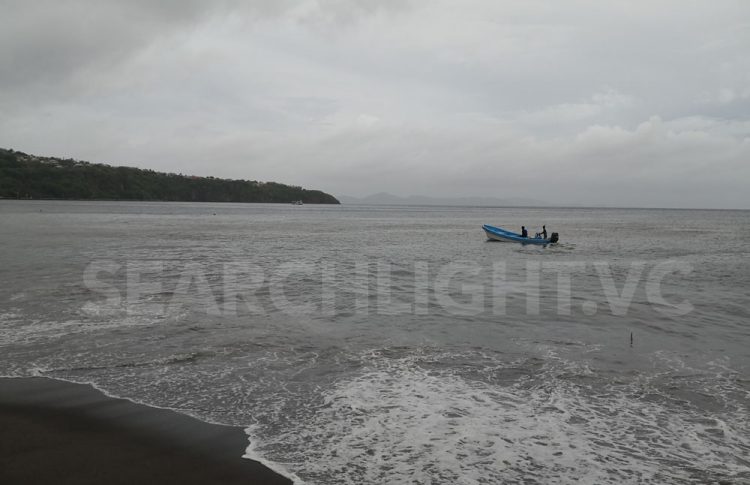
St. Vincent and the Grenadines has begun to feel the impacts of Potential Tropical Cyclone Two as gusty winds and intermediate rainfall from feeder bands are being recorded across the island.
At 2:00 pm, the St. Vincent and the Grenadines Meteorological Service indicated that Potential Tropical Cyclone Two was centred near 10.0°N 58.2°W or 300 miles (480 Km) southeast of SVG. Moderate to heavy showers and thunderstorm activity with rainfall accumulations of 50 to 100 mm (2 to 4 inches) are possible from late tonight with higher accumulations predicted across the Grenadines.
The SVG Meteorological Services has therefore issued a High Wind, High Surf and Small Craft Warning Advisories for St. Vincent and the Grenadines and a Flash Flood watch would be in effect from 6:00 pm Tuesday 28th June, 2022.
A Flood-Watch is issued when conditions are favourable and there exists the possibility of flooding during the watch period. This flash-flood watch may be upgraded to a warning if conditions warrant.
The system has the potential to generate moderate to heavy rainfall which may result in localized flash flooding. Residents in flood and landslide prone areas are therefore asked to be vigilant.
The National Emergency Management Organisation (NEMO) is urging all residents especially those in the Southern Grenadines as these islands are closest to the system, to take all the necessary precautions against strong gusty winds, heavy rainfall and rough seas.
Persons who are frequenting the communities north of the Rabacca River up to Fancy are reminded that heavy rainfall can result in dangerous lahars and mud flows in these areas and to avoid areas once flooded.
The National Emergency Management Organisation through the St. Vincent and the Grenadines Meteorological Services will continue to monitor and provide updates on the potential tropical storm.


