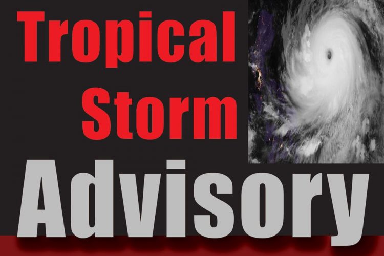
Centre of Storm Now Passing over SVG

Advisory (no.7):
FOR ST.VINCENT AND THE GRENADINES ON TROPICAL STORM HARVEY
Issued at 11:00 am Friday, 18th August, 2017
ST. VINCENT AND THE GRENADINES REMAIN UNDER A TROPICAL STORM WARNING.
A Tropical Storm Warning means that sustained winds of 34 to 63 knots (39 to 73 mph/ 63 to 118 km/h) are expected somewhere within the specified area in this case within the next 3 hours.
At 11:00 a.m, the center of the system was located near 13.1°N, 61.3°W or about 15 miles…25 Km East of St.Vincent and the Grenadines. The system is moving westward at 18 mph/ 30 km/h and on this track, the center is expected to pass near or over St.Vincent by midday. Maximum sustained winds will remain near 40 mph (65km/h) with higher gusts. Minimum central pressure is currently 1005mb
Pockets of light to moderate showers, periods of rain, and isolated thunderstorms will continue across St.Vincent and the Grenadines into the afternoon. Further rainfall accumulations of up to 2 inches (50 millimeters) are still possible. In addition, seas will continue to be rough in open waters with swells of up to 3 meters (10ft).
Residents and motorist in flood prone areas, areas prone to land-slippage, near rivers and streams should be on the alert and take all necessary precautions.
A Small craft warning is in effect for rough seas and high winds.
The St. Vincent and the Grenadines Meteorological Office will continue to monitor Tropical Storm Harvey, and issue the next advisory at 2 pm.


