Tropical Storm Watch in effect for St Vincent & the Grenadines

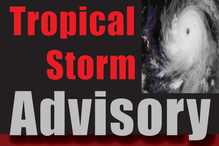
St Vincent and the Grenadines is under a Tropical Storm Watch.
At 5:00 pm today the St Vincent and the Grenadines Meteorological Services stated that a Tropical Storm Watch is in effect for SVG for potential Tropical Cyclone Five (5) as the broad area of low pressure associated with a tropical wave has the potential to become a Tropical Cyclone (tropical storm) during the next few days.
A Tropical Storm Warning means that tropical storm conditions are possible across St. Vincent and the Grenadines within 48 hours.
At 5 pm, the centre of the disturbance was located near latitude 9.6° north; longitude 43.7° west, or approximately 1195 miles (1920 kilometers) east of the Southern Windward Islands. The system is moving towards the west-northwestward near 21 mph (33 km/h) and this motion is expected to continue with an increase in forward speed during the next couple of days.
Maximum sustained winds are near 35 mph (55 km/h) with higher gusts. Environmental conditions appear generally favourable, and the disturbance is expected to become a tropical storm tonight or Thursday. On its present forecast track, the centre of the system is predicted to pass near or over portions of the Windward Islands or the southern Leeward Islands on Friday. Showers, thunderstorms, strong gusty winds along with rough seas are likely to accompany this system.
The National Emergency Management Organisation (NEMO) is urging all residents to:
∙ Ensure that all over hanging trees and branches are cut or trimmed and ensure that all outdoor furniture are secured.
∙ Clean or clear all drains around your property, ensure that roofs are securely fasten and have materials on hand to secure glass windows and doors.
∙ Stock up on food that won’t spoil easily and store clean drinking water to last at least three days.
∙ Make arrangements to stay with friends and family as your first option of seeking shelter.
∙ Make the emergency shelter your last option for seeking shelter, however if it becomes necessary please note that all the COVID -19 protocols will be in place.
∙ If you are going to an emergency shelter take your emergency kit with clothes, food and water to last at least 3 days.
∙ Create a family emergency plan.
∙ Owners and operators of businesses are asked to put plans in place to secure goods, property and equipment.
∙ Persons living in areas prone to landslides, flooding and storm surge are asked to exercise caution and be prepared to evacuate if necessary.
∙ Ensure that you secure your important documents (birth certificates, passports, deeds etc.)
∙ Keep listening for updates on the situation.
The National Emergency Management Organisation is also reminding persons who are frequenting the communities north of the Rabacca River up to Fancy that heavy rainfall can result in dangerous lahars and mud flows and these areas remain restricted.
Lahars (mudflows) continue to pose a dangerous threat to the river valleys surrounding the volcano including Wallibou, Rabacca, Sandy Bay and Owia. Residents are asked to limit or avoid visiting these areas at this time.
The heavy rainfall can result in flooding, lahars and mudflows especially in areas that had significant ash fall. Since the explosions ended on 22 April, 2021, remobilisation of ash, blocks, bombs and other fragmentary materials by rainfall has produced mudflows (or lahars) which have in turn incorporated material from the Pyroclastic Density Currents (pyroclastic flows). This has caused significant amount of erosion in the lower valleys and in some cases have resulted in mudflow deposits now covering the hot Pyroclastic Density Currents deposits, particularly in the lower parts of the valleys.
It is expected that whenever rain falls, there will be significant steaming, particularly in the valleys where Pyroclastic Density Currents have come down. The Pyroclastic Density Currents can result in warm or hot mudflows, which will also steam. This means that it would not be unusual to have significant steaming in some or all of the valleys on the volcano. Also, while this steaming would be mainly focused in the upper parts of the valleys, due to the fact that the mudflows can also steam, the steaming can extend all the way down the valley to the coastline.
The National Emergency Management Organisation and the St. Vincent and the Grenadines Meteorological Services will continue to monitor and provide update on the potential tropical storm.


